Projects
Funded projects in localization for field robots. Papers are listed on the home page and in the CV.
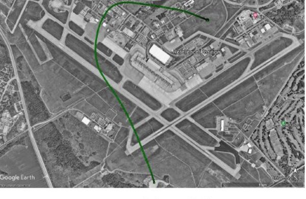
Real-time drone navigation in a 5 km × 5 km area with jammed GNSS, by matching downward camera images to satellite maps and fusing the result with visual-inertial odometry.
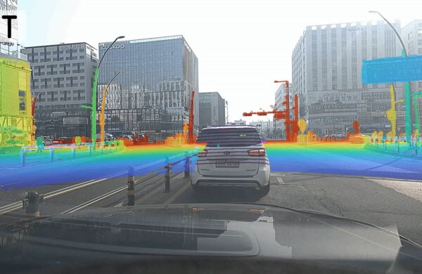
Calibrate radar, LiDAR, and camera while the vehicle drives, without targets, then use the calibrated sensors for simultaneous calibration, localization, and mapping.
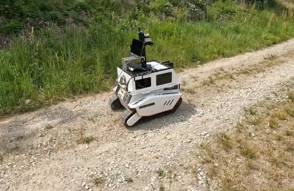
An unmanned ground vehicle drives to a goal through unmapped off-road terrain under GPS jamming. Joint project of Hanwha Aerospace and three KAIST labs (Autonomy Hub).
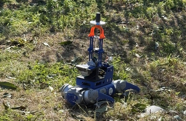
Perception, mobility, and mission software for quadruped robots at real field sites (a disaster site, a substation, an orchard), extended to multi-robot teams in phase 2.
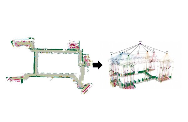
Build 3D scene graphs from real sensor data so a robot can follow commands like "go to the fridge" instead of coordinates.